Drone Mapping & Surveying in Sydney
High-resolution orthomosaic maps, 3D site models, elevation data and volume measurements for builders, developers and land owners across Sydney and NSW.
- CASA Accredited
- RePL Licensed
- Fully Insured
- Inner West Sydney
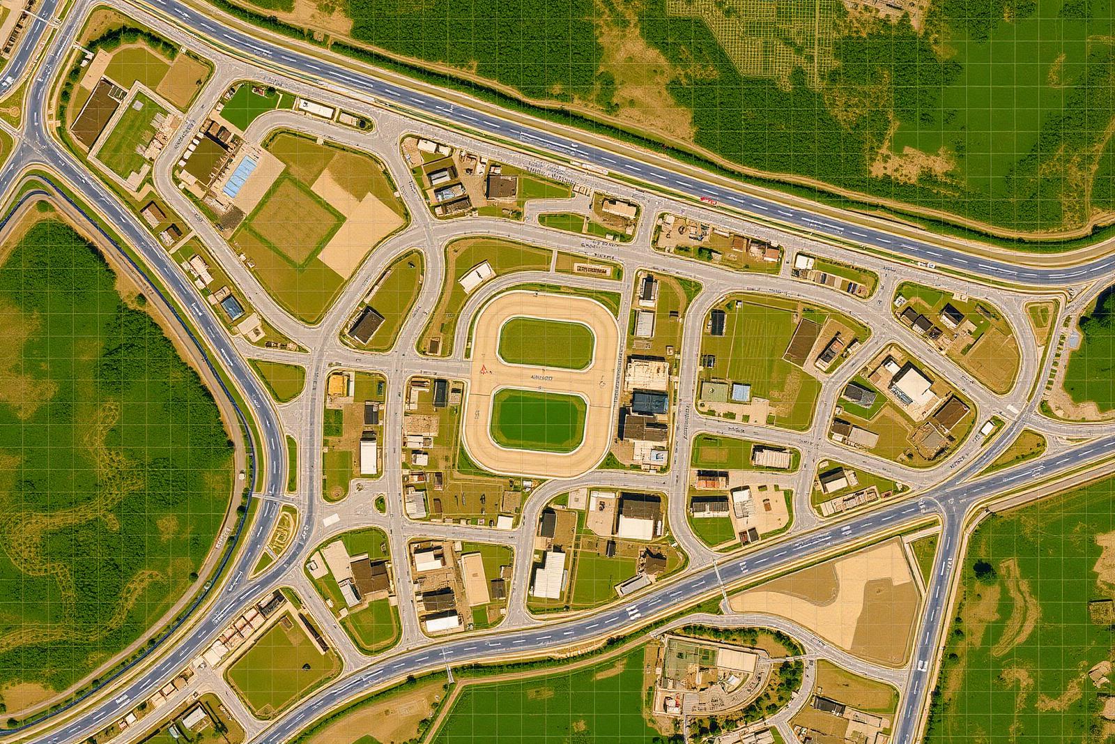
Red Crow Drone Solutions delivers drone mapping and site surveying across Sydney and NSW — orthomosaic maps, 3D models, elevation data and accurate volume measurements that builders, developers and land owners can use immediately for planning, reporting and decision-making.
What's included
- High-resolution orthomosaic (GeoTIFF)
- 3D site model & point cloud
- Digital elevation model (DEM)
- Volume & area measurements
- Shareable web viewer link
- Raw imagery archive
Benefits
Sharper, more current, and accurate enough to measure from.
A site that takes a survey crew days can be flown in hours.
Volumes, elevations and overlays you can drop into reports and design tools.
One web link puts the same site map in front of your whole project team.
How our drone service works
Tell us the site, the goal and the deadline.
Airspace check, CASA-compliant flight plan, risk assessment.
On-site flight with the DJI Air 3S — efficient, low disruption.
Edit, stitch and process in DroneDeploy / Pix4D / Adobe.
Files, web gallery and a short report — usually within 24–48 hours.
Drone Mapping & Surveying in Sydney pricing in Sydney
| Service | Indicative price (AUD) |
|---|---|
| Mapping & surveying | $800–$2,500 |
Need a tailored quote? See all pricing →
Frequently asked questions
Ready to get started?
Tell us about your site and we'll come back with a clear quote within 1 business day.